Green-Wood, Brooklyn Historical Society to unveil Battle of Brooklyn map
A one-of-a-kind Revolutionary War map used in battle by Lieutenant-General Hugh Percy, a British division commander at the Battle of Brooklyn, will be unveiled at Green-Wood Cemetery on Sunday, Aug. 24, at the Green-Wood Historic Fund’s annual commemoration of the Battle of Brooklyn. Following its unveiling at Green-Wood Cemetery, General Percy’s Map will travel to the Brooklyn Historical Society (BHS) on Aug. 27, where it will be exhibited through February of 2015.
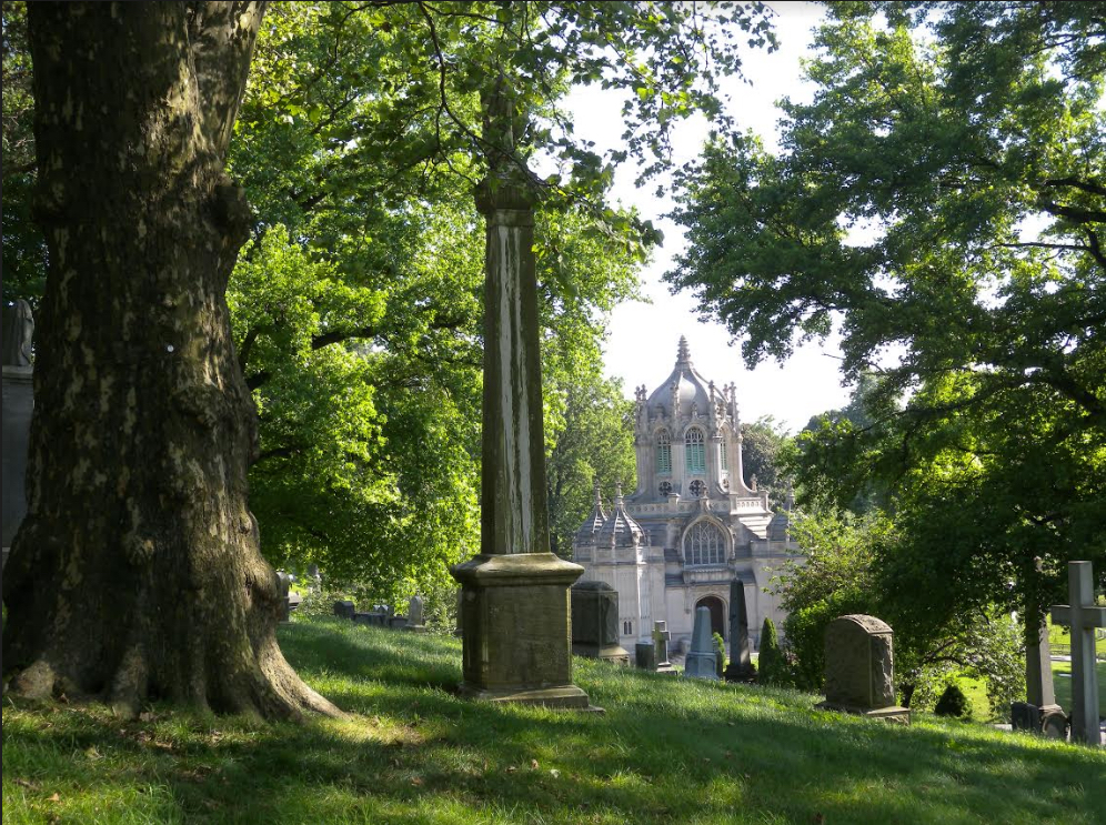
The Battle of Brooklyn, waged on Aug. 27, 1776, was fought across Brooklyn and on land that is now part of Green-Wood. It was the first battle of the American Revolution fought after the signing of the Declaration of Independence.
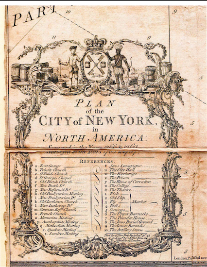
Co-owned by BHS and the Green-Wood Historic Fund, General Percy’s illustrated map, dated 1776, was created by notable British engineer and cartographer Bernard Ratzer. Depicting parts of Brooklyn, it is marked in General Percy’s own hand with red numbers and dots denoting troop positions of the Continental Army under the command of General George Washington — making it unique among Revolutionary War maps.