New exhibit to juxtapose historic maps, map-themed art
BRIC’s and BHS’ ‘Mapping Brooklyn’ Opening In Feb.
“Mapping Brooklyn,” a new exhibition featuring contemporary art works that use mapping and cartography as themes alongside actual historic maps, is opening this month at BRIC and Brooklyn Historical Society (BHS). Curated by Elizabeth Ferrer, vice president of Contemporary Art at BRIC, and spanning the galleries at BRIC House and BHS, “Mapping Brooklyn” explores the myriad ways that maps can represent practical matters, such as wayfinding, property ownership, population shifts and war strategy, while also navigating the metaphorical, the psychological and the personal.
At both venues, historic maps and contemporary works will be in dialogue, suggesting common themes — the desire to explore, chart and analyze territory — and highlighting the innovative ways that contemporary artists use mapping, cartography and exploration, to reveal data, ideas and emotions.
The historic maps will be drawn from BHS’ collection, one of the richest collections of maps of Brooklyn in the world. Included are fire insurance maps, transportation maps, demographic maps and nautical charts, among others. A colorful pictorial road map to the 1939 New York World’s Fair, a commercial edition of a Red Scare-era map depicting enclaves of suspected radical activity and a detailed map of one of Brooklyn’s earliest botanic gardens, showing plots of exotic plants and fruits, are among the dozen or so maps and atlases on display.
BHS President Deborah Schwartz said the exhibition “not only allows us to share the wide range of historic maps in our collection, it also places these technical documents in a contemporary context to reveal their influence over universal ideas like the need to belong, the desire for representation and the constantly changing nature of the borough and the world around us.”
Brooklyn Boro
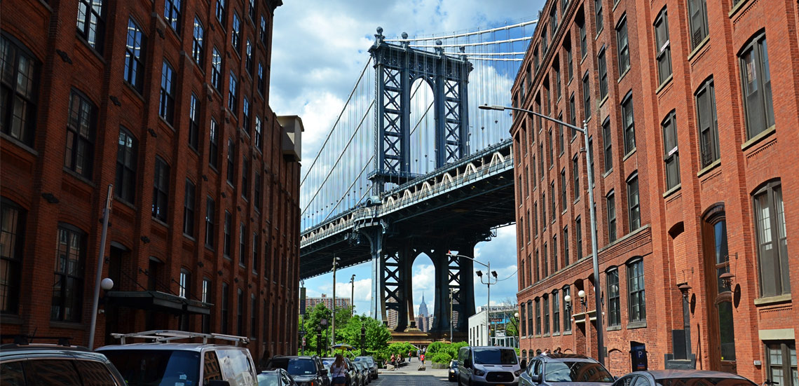
View MoreNew York City’s most populous borough, Brooklyn, is home to nearly 2.6 million residents. If Brooklyn were an independent city it would be the fourth largest city in the United States. While Brooklyn has become the epitome of ‘cool and hip’ in recent years, for those that were born here, raised families here and improved communities over the years, Brooklyn has never been ‘uncool’.